Sydney Alternative Media - independent, community, non profit, trustworthy

Home ecology action

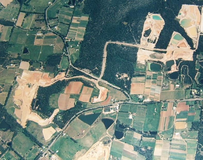
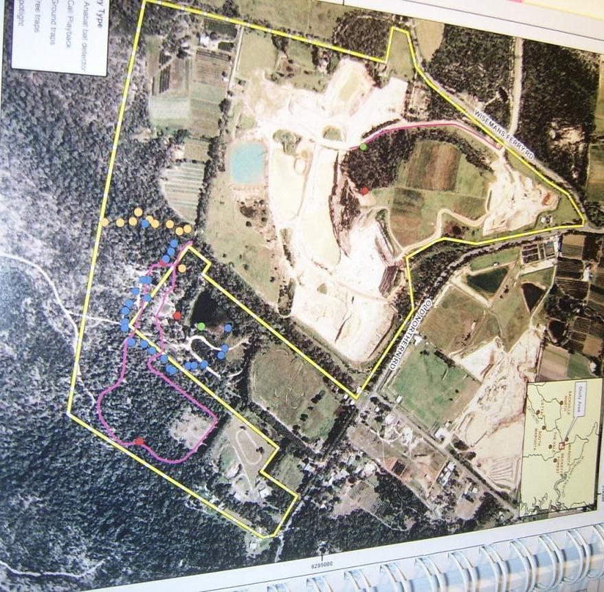
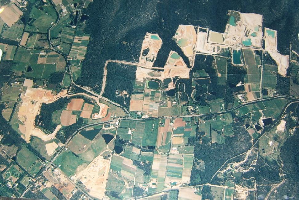
1st Oct 1998 - Aerial photo Lands Dept of Maroota sandmining evidence no rehabilitation 10-20 years

Appendix L

pfminingl167l198deptlandsmaroota1oct98.jpg

Pictures: Above is Lands Dept photo 1/10/98 Lot 167 Trig Hill area, below is EA Summary Dec 2007 (Technical Paper Volume 3 re Flora & Fauna) evidencing little or no rehabilitation for 10-20 years of PF Formation sandmining.

pfl167trighillsitenorehabdec07easumflfaunatechpaper.jpg

norehablandsdpt1oct98marootasandmines.jpg

Picture above: NSW Lands Dept aerial survey photo of the whole Maroota Sandmining district from south (left) to north (right). Trig Hill, Lot 167 is at the far left in between the arrow head of Wiseman's Ferry Rd and Old Northern Rd junction. Taken on 1st October 1998.

Enter supporting content here

non-profit media about your environment, in a human rights and social justice context